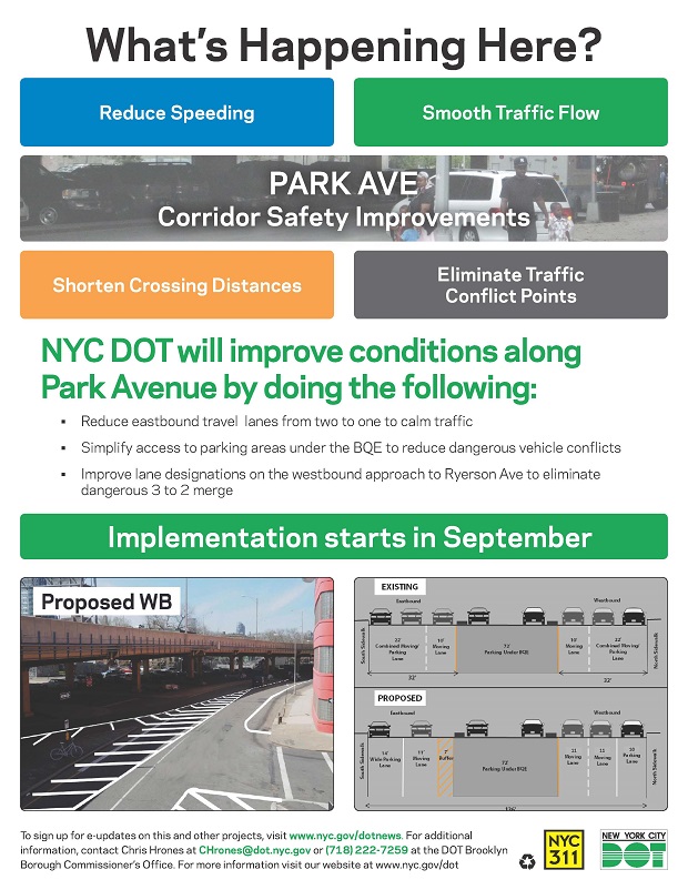
After years of advocacy work by MARP, NYC DOT completed its own safety plan for Brooklyn’s Park Avenue in Fort Greene and Clinton Hill.
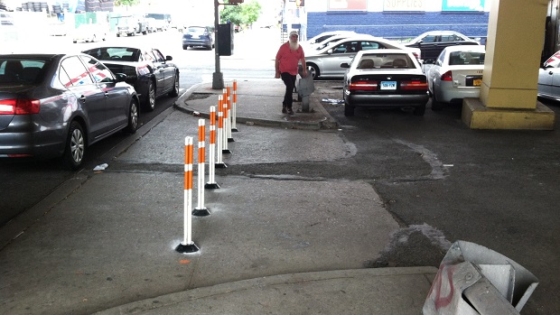
Following the release of MARP’s Park Avenue Pedestrian Safety Plan, DOT released its official plan to improve safety. Last month, DOT began to implement that plan with the installation of bollards along select parking area exits to reduce conflicts with pedestrians. Over the past two weeks, DOT completed the plan, including the:
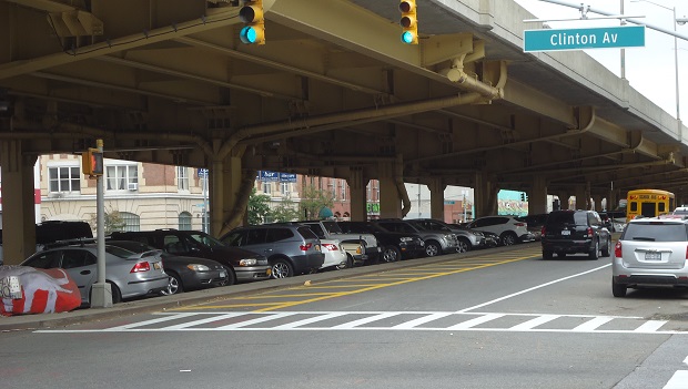
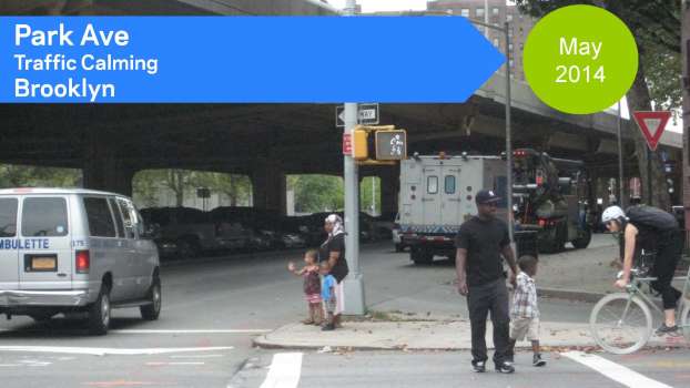
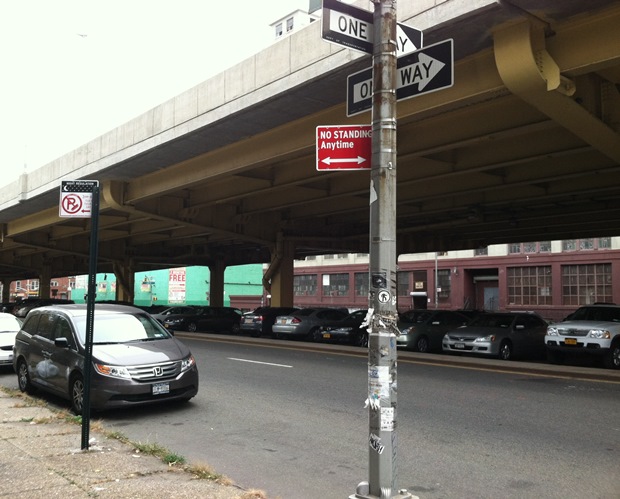
- “Rationalization” of eastbound Park Avenue from two lanes to one to reduce speed and calm traffic (pictured above)
- Reconfiguration of the awkward 3-to-2 merge where westbound Williamsburg Street turns into westbound Park Avenue
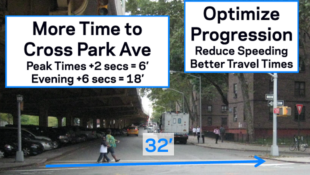
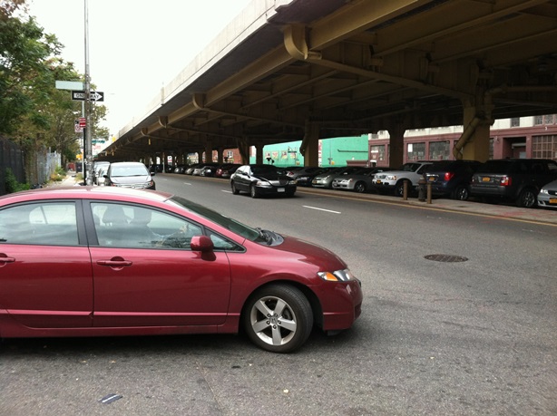
- Re-timing of traffic lights along Park Avenue to give pedestrians more (north-south) crossing time (pictured below)
The above changes follow previous improvements, also completed by DOT:
- Installation of daylighting regulations at 7 locations
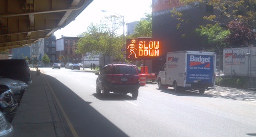
- Installation of a temporary “skeleton board,” alerting drivers to their travel speed
- “Strip repaving” along sections of the parking areas under the BQE
- Installation of 9 new streetlights
In addition to MARP, many groups played a part in this victory for street safety. We would like to thank Architecture for Humanity, Pratt Institute, the Design Trust for Public Space, the Park Avenue Safety Advisory Committee, Greene Hill School, Brooklyn Community Board Two, and the 1,100 people who signed our petition. This work would not have been possible without strong community support.
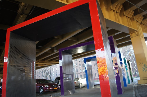
Of course, there is still more to do to help make Park Avenue safer. We will continue to advocate for additional safety enhancements that require capital funds, such as reconfiguring the “Crossover” at Grand Avenue and repairing the areas under the elevated BQE.


")